Always on Point.
+234 81 032 7655
Comprehensive Solutions
Leveraging cutting-edge technology to deliver pinpoint accuracy from site planning to structural monitoring.

Topographic Surveying
Detailed 3D terrain mapping for architectural design and land development.

Engineering Layout
Precision staking for foundations, roads, and critical infrastructure.

GIS & Remote Sensing
Advanced digital data management and satellite imagery analysis.

Hydrographic Survey
Underwater topography for marine, port, and coastal development.

As-Built Surveys
Final verification and high-precision mapping of completed projects.

Consultancy
Expert witness, legal boundary mapping, and dispute resolution.
Geographic Infornation Systm
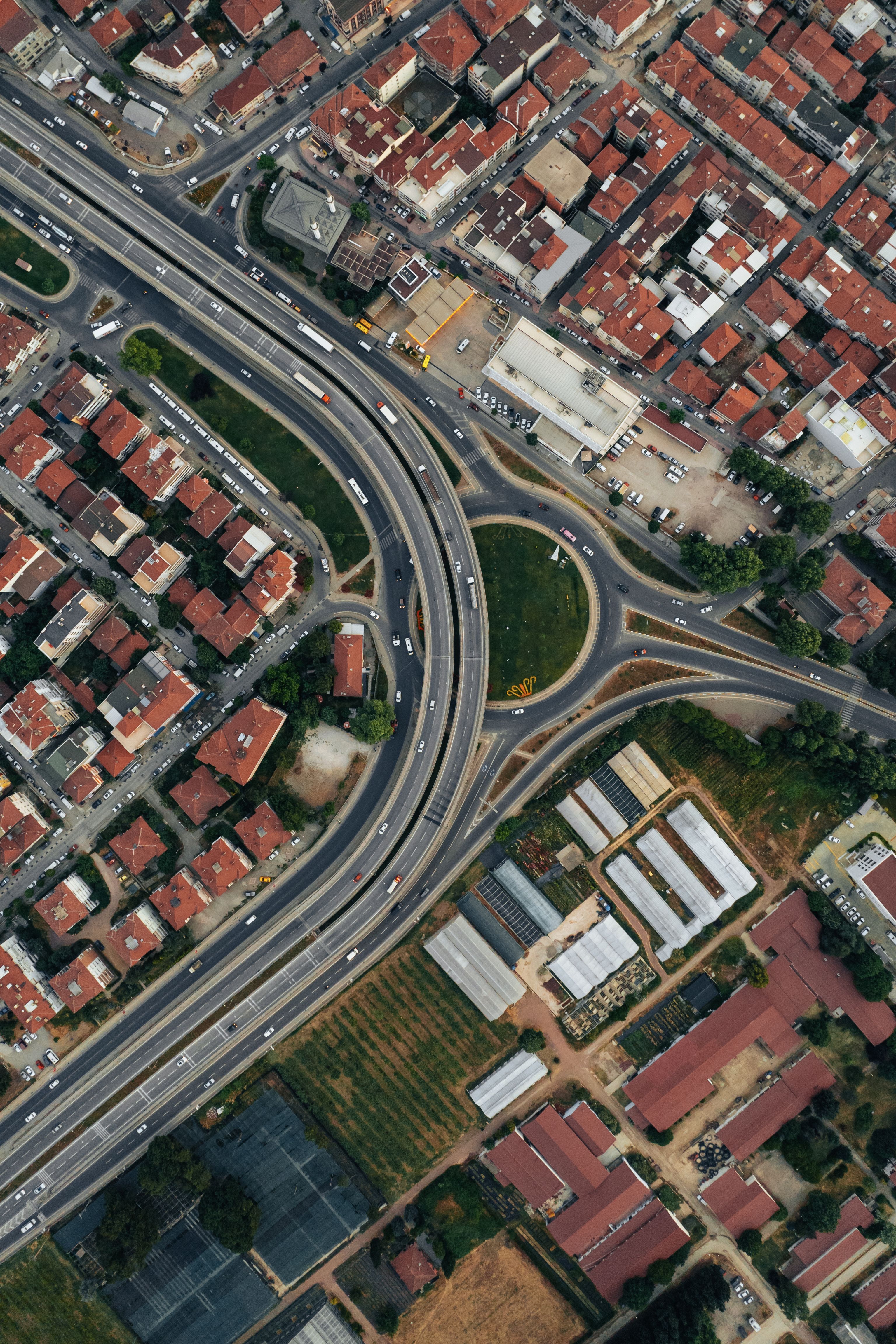
We solve real-world problems by collecting, storing, and analyzing spatial information. Our Experts use GIS to find the ideal sites for new facilities. We also track environmental changes and helps coordinate disaster relief efforts. By turning numbers into visual maps, GIS helps leaders make fast and smart decisions
OUR LATSET NEWS / UPDATES
Our advanced surveying instruments are designed to deliver unmatched precision, reliability, and efficiency in the field.

Modern Technology Is Transforming Land Surveying
Modern Technology Is Transforming Land Surveying
Date
21/09/2025

Surveying Data Plays a Growing Role in Construction Projects
Surveying Data Plays a Growing Role in Construction Projects
Date
29/04/2025

Drones Expand the Possibilities of Land Surveying
Drones Expand the Possibilities of Land Surveying
Date
29/04/2025
Precision Surveying Solutions
Accurate land measurement, mapping, and geospatial services you can trust.
Let’s Survey Your Next Success.
Schedule a consultation with our licensed team.